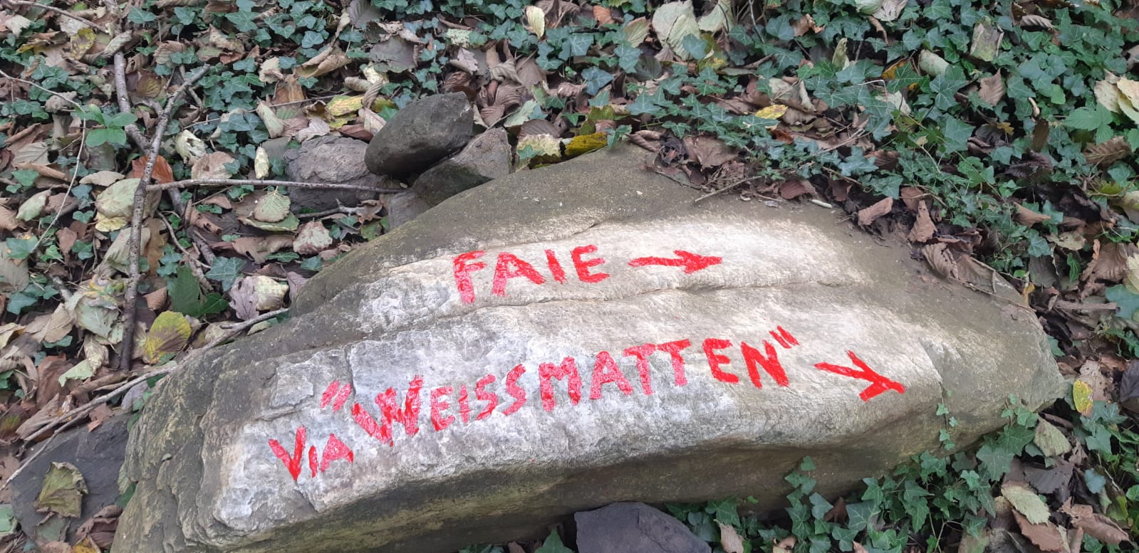
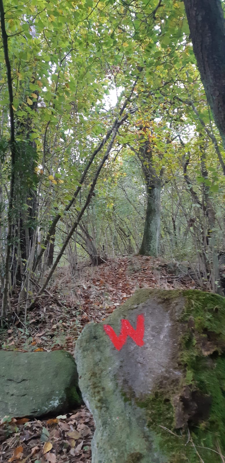
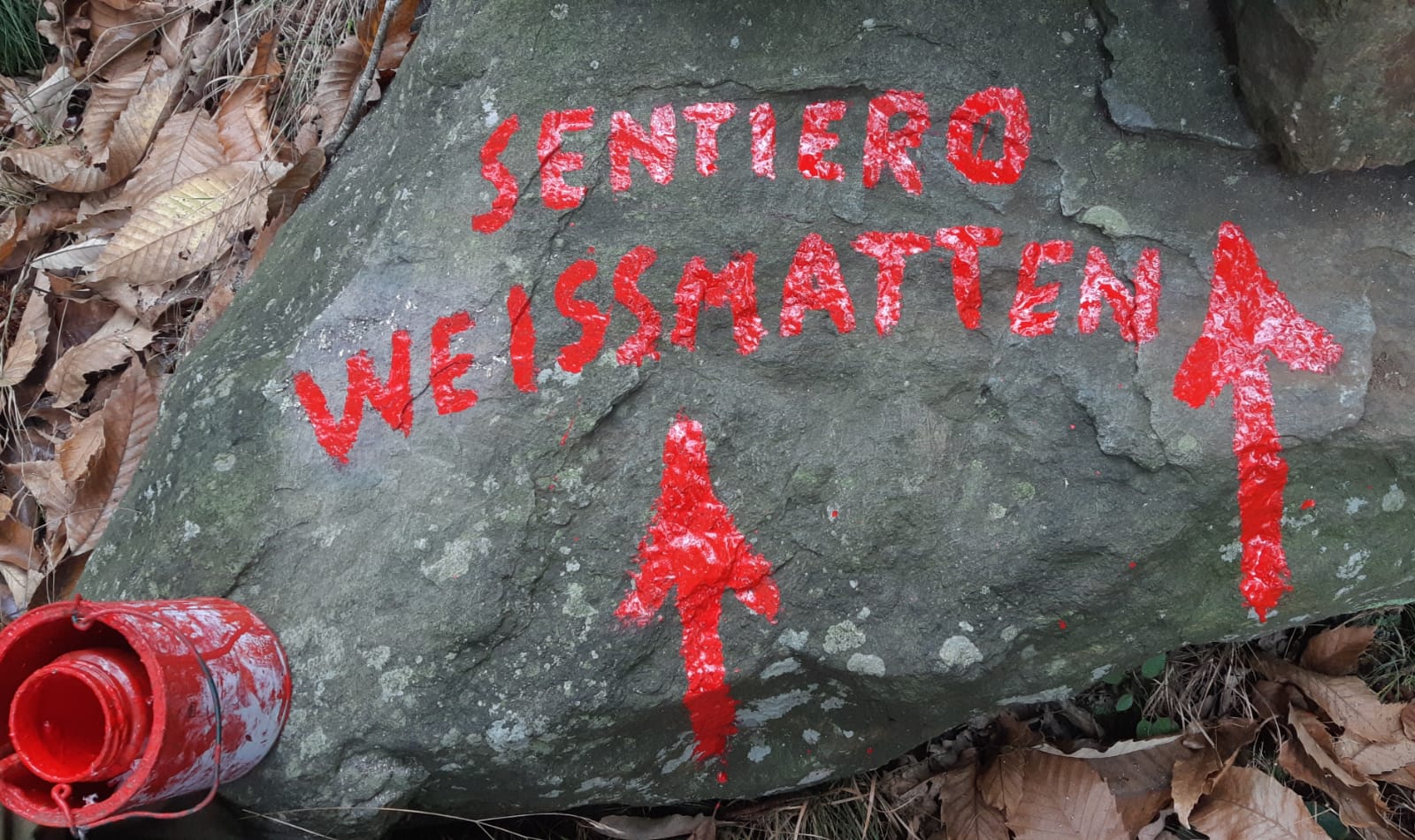
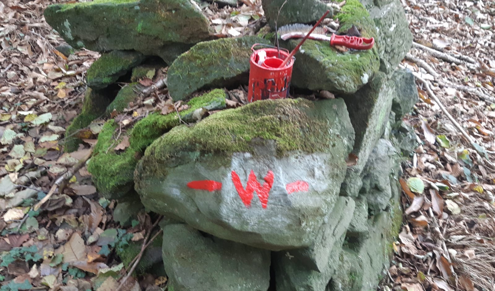
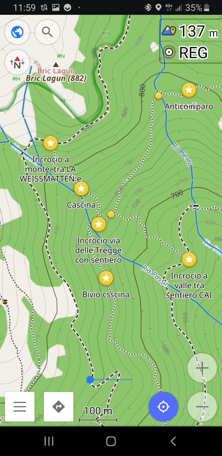
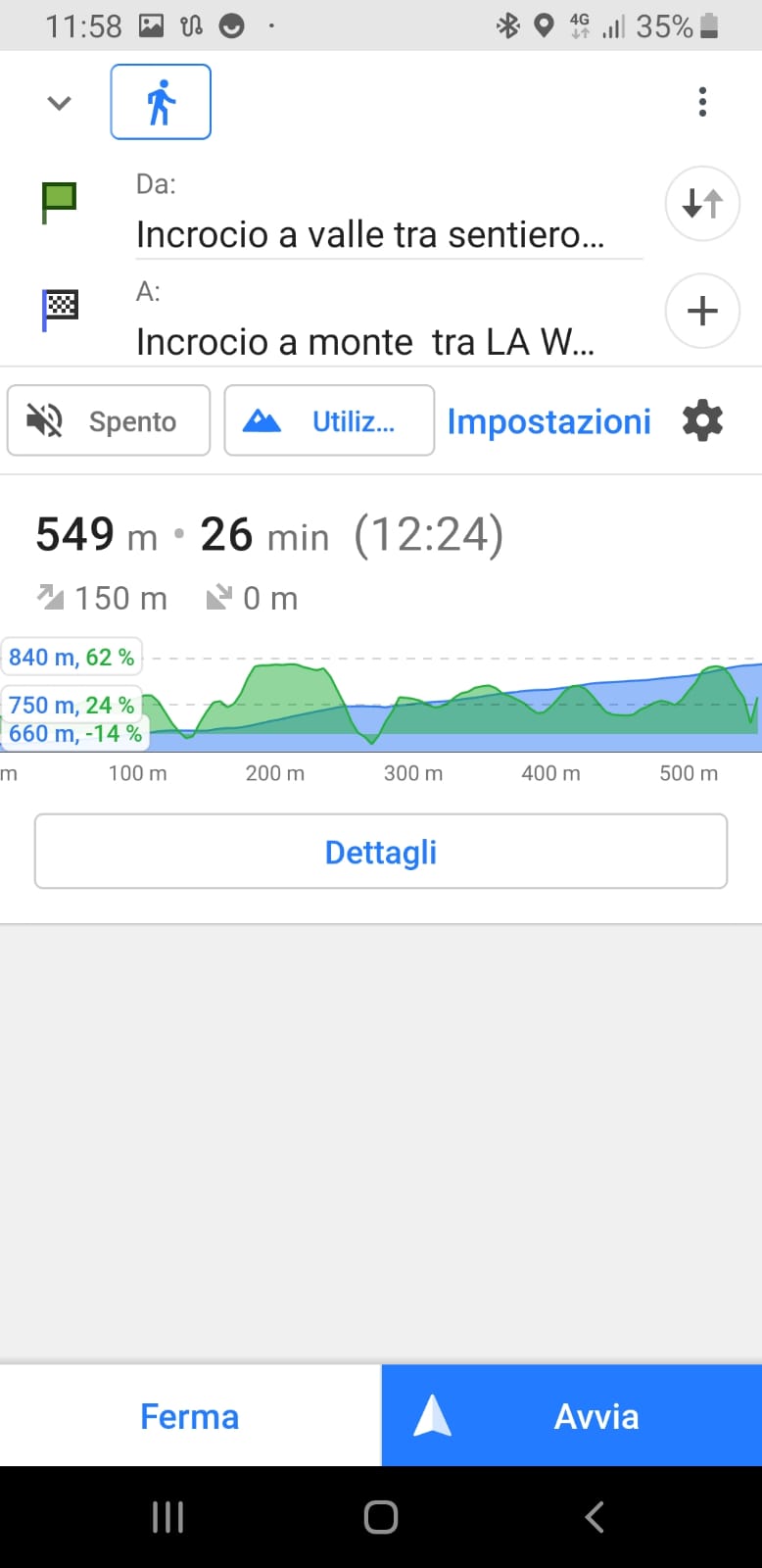
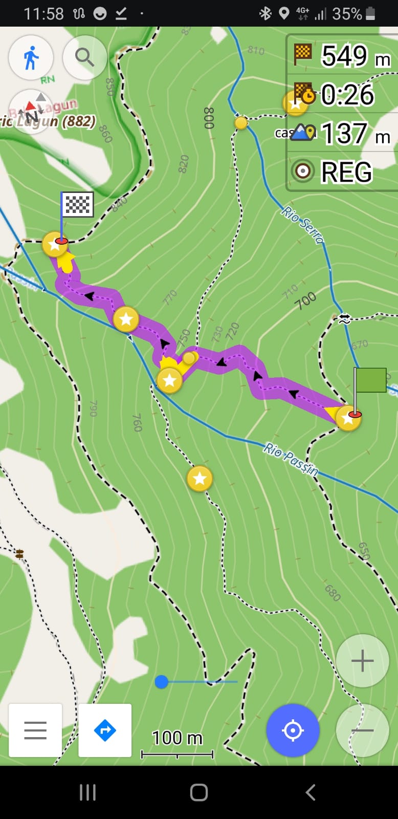
Il sentiero chiamato ufficiosamente Weissmatten aveva bisogno di un segnavia, e così oggi abbiamo dato un nuovo simbolo a questo tracciato: una W rossa. Il sentiero è stato recentemente mappato su OpenStreetMaps e da oggi 2 novembre è visibile anche sulle mappe offline di applicazioni tipo Osmand, Komoot ed altre, facendo l’ultimo aggiornamento del mese di novembre relativo alle mappe della Liguria.
![](https://www.caivarazze.it/wp-content/uploads/2023/11/Immagine-WhatsApp-2023-11-02-ore-11.56.36_3e7d21f8-1024x498.jpg)
![](https://www.caivarazze.it/wp-content/uploads/2023/11/Immagine-WhatsApp-2023-11-02-ore-11.56.36_7a7d7483-498x1024.jpg)
![](https://www.caivarazze.it/wp-content/uploads/2023/11/Immagine-WhatsApp-2023-11-02-ore-11.56.36_516e21ce-1024x608.jpg)
![](https://www.caivarazze.it/wp-content/uploads/2023/11/Immagine-WhatsApp-2023-11-02-ore-11.56.37_e7ec797d-1024x602.jpg)
![](https://www.caivarazze.it/wp-content/uploads/2023/11/Immagine-WhatsApp-2023-11-02-ore-11.59.22_365eaf9f-498x1024.jpg)
![](https://www.caivarazze.it/wp-content/uploads/2023/11/Immagine-WhatsApp-2023-11-02-ore-11.59.22_ca35ba54-498x1024.jpg)
![](https://www.caivarazze.it/wp-content/uploads/2023/11/Immagine-WhatsApp-2023-11-02-ore-11.59.22_d19d27d0-498x1024.jpg)